Guide to Buying Waterfront Homes in St. Michaels MD
January 15, 2026
January 15, 2026
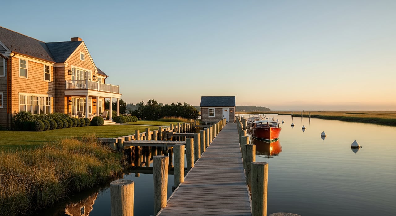
Picture yourself launching a boat at sunrise, or winding down with river views after dinner. If you are considering a waterfront home in St. Michaels, you already know the lifestyle is special. The key is buying with clarity, so your dream dock, views, and peace of mind hold up through inspections, permits, and insurance. This guide walks you through what matters most in St. Michaels, from water depth and shoreline condition to flood maps and financing. Let’s dive in.
St. Michaels sits on the Miles River, a tidal tributary of the Chesapeake Bay, with a mix of deep-water riverfront, marshfront, canal and harbor-front homes, and upland parcels with views. Each setting offers a different balance of boating access, privacy, and maintenance. True deep-water properties are limited, so they carry a premium and can be competitive. You will also see a range of shoreline types, including bulkheads, natural marsh, and living shorelines.
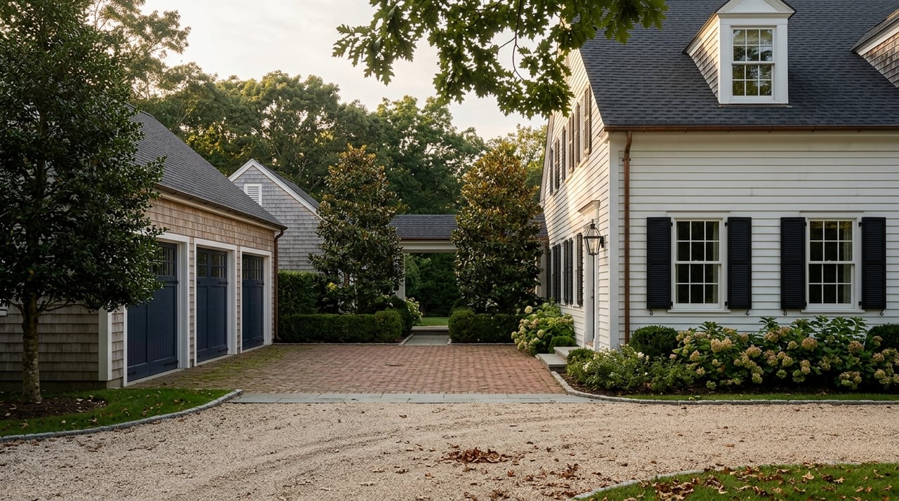
Waterfront buyers here often value boating, walkable village amenities, and easy access to marinas and boatyards. Proximity to Easton for services and routes to metro areas is another draw. Because inventory is tight, it helps to prepare your due diligence early, so you can move with confidence when the right property appears.
If boating is part of your plan, verify mean low water depth at the end of any pier. Ask for historical dredging, and check how the property connects to maintained channels. Shallow tidal areas can limit draft, which affects the size of boat you can use. Confirm navigation details with local marinas or the harbormaster before you buy.
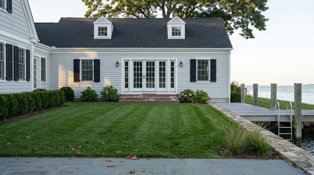
Inspect docks, pilings, and bulkheads for age, materials, and signs of failure like rot or undermining. Confirm that any pier or dredging was permitted and whether those permits transfer with the sale. In-water work typically requires approvals from the state and federal level. Review requirements through the Maryland Department of the Environment permitting pages and the U.S. Army Corps of Engineers regulatory site.
Chesapeake shorelines face erosion from storm surge, boat wakes, and sea-level rise. Look for past repairs and areas of active scouring. Living shorelines are a common solution and may be preferred or required in some cases. Learn more from the Maryland DNR living shoreline guidance and the Chesapeake Bay Program.
Many Talbot County waterfront homes rely on private wells and septic systems. Verify septic records, inspections, and percolation tests, and confirm setbacks from the shoreline. Check the age and condition of tanks, drain fields, and pumps. For wells, test for bacteria, nitrates, and possible saltwater intrusion, especially in shallow systems.
Salt air and humidity can accelerate corrosion. Pay close attention to HVAC coils, exterior fasteners, marine hardware, and electrical components. Maintenance history matters, so gather service records and look for moisture management features like dehumidification, sealed crawlspaces, and proper venting.
Start with a current flood zone determination and Base Flood Elevation using the FEMA Flood Map Service Center. If the home is in a Special Flood Hazard Area, most lenders will require flood insurance. FEMA’s pricing methodology changed under Risk Rating 2.0, which means premiums can differ from what you have seen in older listings. Ask for quotes early from both NFIP and private carriers.
St. Michaels faces several types of flood risk: tidal or nuisance flooding, storm surge during coastal events, and overtopping during major storms. For a long-term view, explore projected water levels with the NOAA Sea Level Rise Viewer. Mitigation such as elevated structures, flood vents, and documented improvements can reduce risk and may lower premiums. Review wind and hurricane deductibles in homeowners policies as well.
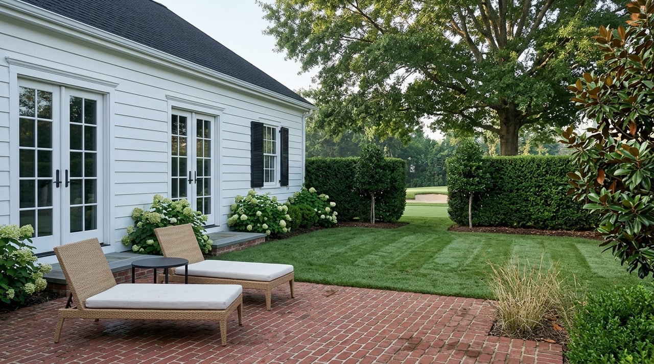
Much of St. Michaels waterfront sits within Maryland’s Critical Area, which limits development near tidal waters and sets standards for buffers, lot coverage, and forest conservation. Before planning additions or hardscaping, confirm your property’s designation and what is allowed. Start with the Maryland Critical Area Commission and your local planning office for specific rules.
New or modified docks, pilings, bulkhead replacement, and dredging usually require permits that may include mitigation. Expect review by state and federal agencies, timelines that can span months, and size or location limits. Coordinate early with the Maryland Department of the Environment permitting team and the U.S. Army Corps of Engineers regulatory office.
Some properties may sit in historic districts or carry conservation easements that limit exterior changes. Confirm deed restrictions and association rules. If riparian rights, access easements, or encroachments are unclear, bring in a real estate attorney to review title and survey.
Lenders will require an appraisal, and waterfront premiums must be supported by comparable sales. Scarcity can make valuation complex, so plan for a careful comp review. Flood risk, elevation, and insurance availability can influence loan terms and carrying costs. Ask your lender about requirements for properties in flood zones, and whether an Elevation Certificate is needed for underwriting.
Value is driven by boat access and depth, dock status, unobstructed views, lot size, elevation, and shoreline type. Items that can hold back value include aging bulkheads, deferred dock maintenance, flood or claim history, septic issues, and restrictive covenants. For resale, transferability of dock permits and clean riparian rights are important, since unresolved permitting can narrow your buyer pool.
You want a property that fits your lifestyle and holds value through changing conditions. That takes local knowledge of channels and shorelines, a strong grasp of permits, and a practical plan for inspections and insurance. With 24 plus years and more than 1,500 closed transactions across Maryland’s Eastern Shore, I help you focus on the right questions early, coordinate the right specialists, and negotiate from a position of clarity. If you are ready to explore St. Michaels waterfront, connect with Chuck Mangold, Jr. to get started.


Get assistance in determining current property value, crafting a competitive offer, writing and negotiating a contract, and much more. Contact me today.